
Think of things that are about 400 years old: the Île Saint-Louis in Paris (created in 1614); the King James Bible (finished in 1611); Leonardo da Vinci's Mona Lisa (painted 1517); Harvard College (established 1636).
Add to that list, one other: the Rockaway Peninsula in southeastern Queens.
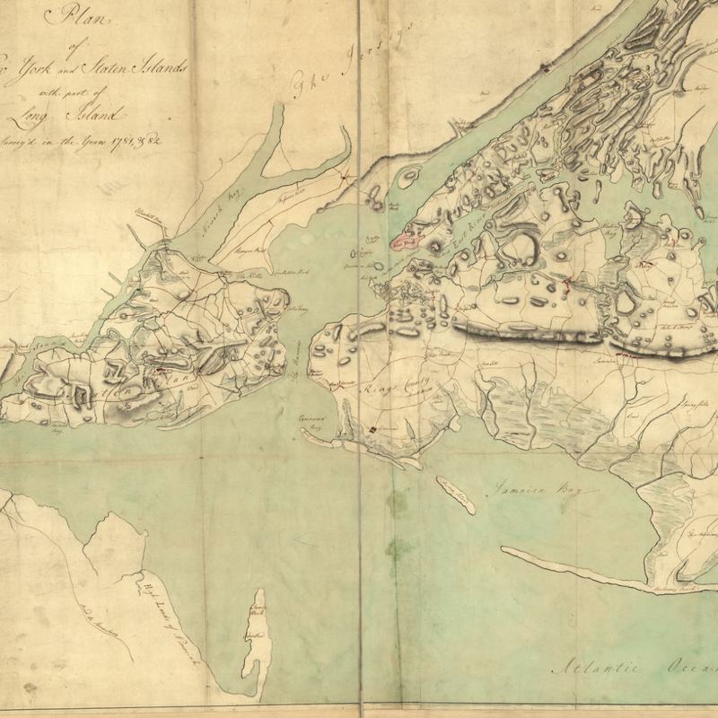
At least that's what Eric Sanderson argues in a new research paper published in the latest issue of Northeastern Naturalist. Sanderson, a senior conservation ecologist at the Wildlife Conservation Society (which runs New York City's zoos) and author of the best-selling Mannahatta: A Natural History of New York City, looked at 100 charts and maps dating back to 1502 to arrive at his conclusion, which puts the peninsula's age at far younger than previously thought.
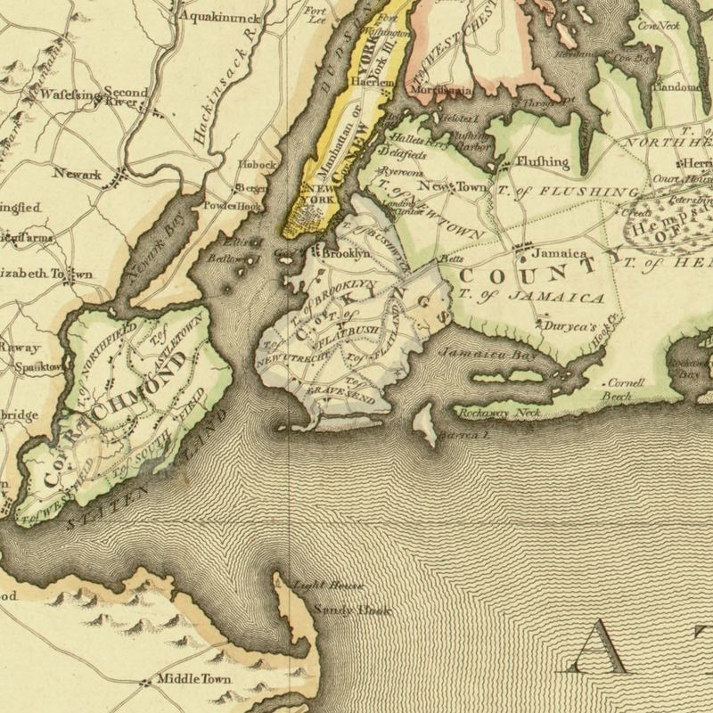
The peninsula grew, Sanderson believes, as a result of ocean currents pushing sand further and further west, forming first just a spit, then a ridge, and finally a piece of land substantial enough on which to build houses, roads and a subway line. The Rockaways formed a protective barrier that in turn allowed the marsh islands inside Jamaica Bay to form — although in the 20th century, their very existence has been threatened by pollution and sea level rise.
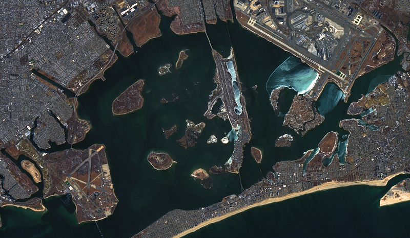
Given how Sandy entirely submerged the Rockaways and the marsh islands when it hit in 2012, Sanderson's research has profound implications for how the region plans how, or whether, to make the area more resilient in the future.