CENSUS 2010 | Mapping Changes in the Five Boroughs
WNYC News | Mar 24, 2011
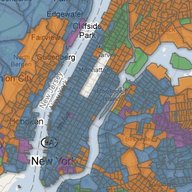
Census 2010 figures for New York City and the state were released and will serve as a guide to drawing congressional and legislative districts throughout the state. Check out changes in the city by population and racial break-down — click, zoom, embed and play around with WNYC's official Census 2010 interactive map.

WNYC Newsroom
WNYC is funded by sponsors and member donations